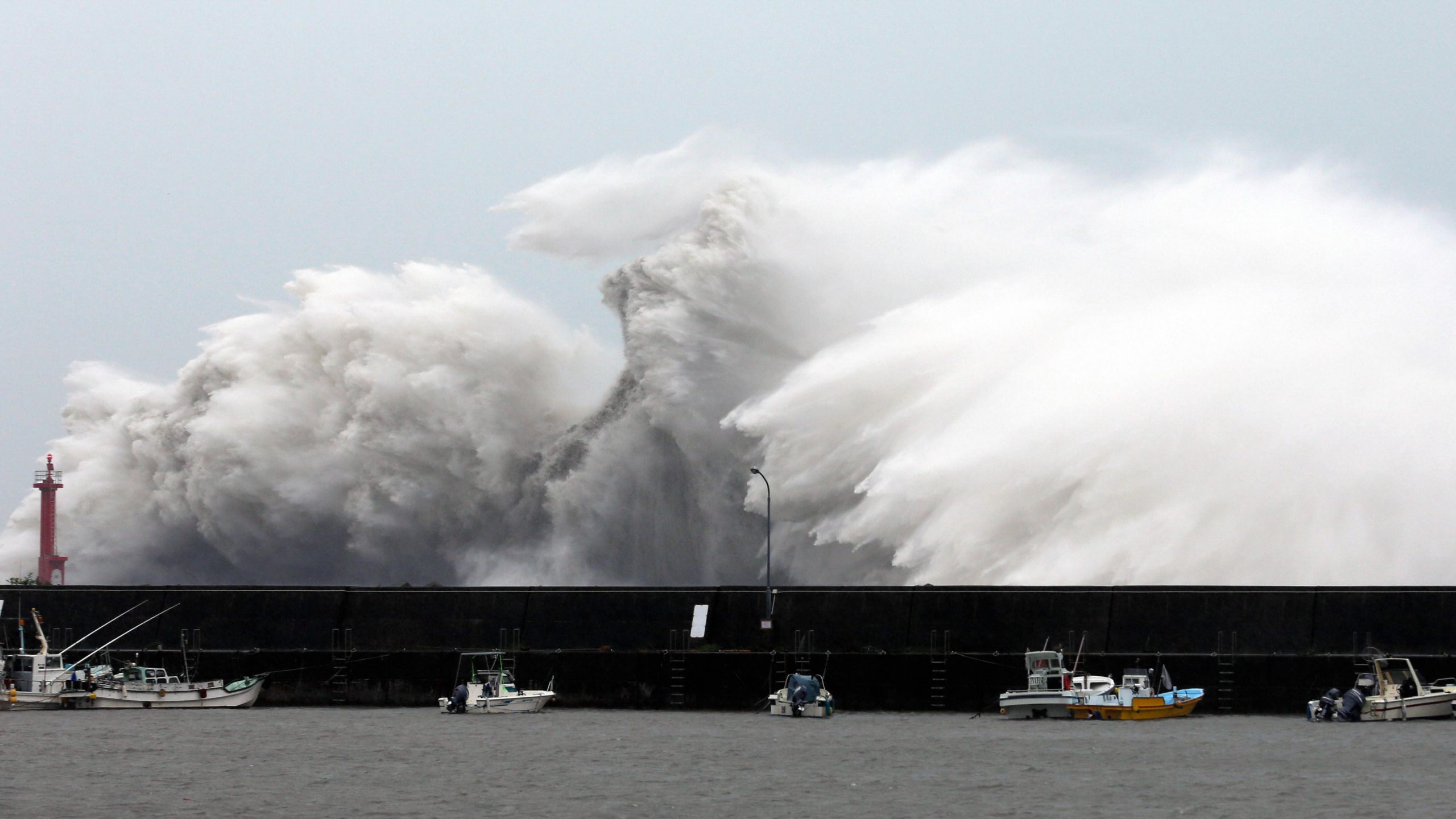
As per Japan Meteorological Agency, the storm has a wind speed of 257 km per hour with gusts of up to 314 km per hour. Typhoon Hinnamnor bring violent winds to parts of Okinawa in southwestern Japan

A storm is brewing. That too a big one and it is likely to cause massive destruction in Japan and China.
According to the Japan Meteorological Agency, the typhoon will be the strongest one in 2022.
How fast is Typhoon Hinnamnor travelling?
The storm has a wind speed of 257 km per hour with gusts of up to 314 km per hour, as per the Japan Meteorological Agency.
According to the United States Joint Typhoon Warning Centre, the maximum significant wave height is about 50 feet.
What is a super typhoon?
Typhoons are formed by warm seawater that evaporates, rises before finally condensing into the clouds.
According to Channel4, Earth’s rotation causes a cyclone to spin rapidly in the clockwise direction in the southern hemisphere and anti-clockwise direction in the north of the Equator.
A typhoon forms an “eye” if it’s extremely strong. In such an event, the air sinks rather than rising into the clouds.
The US Joint Typhoon Warning Centre coined the term ‘super typhoon’. It is a storm that reaches wind speeds upto 240 km per hour. It is equivalent to a category four or category five hurricane in the Atlantic basin.
According to the American Red Cross, if a storm occurs above the North Atlantic, central North Pacific or eastern North Pacific oceans, it’s called a hurricane. It’s called a typhoon if a storm hovers over the Northwest Pacific Ocean.

